Alcalá del Júcar
Hiking trails in Alcalá del Júcar and the Júcar gorge
Six trails for every level that start in the village, from the flat riverside walk to Tolosa to the longer routes through the gorge, with distances, times and tips.
Published on · 3 min read
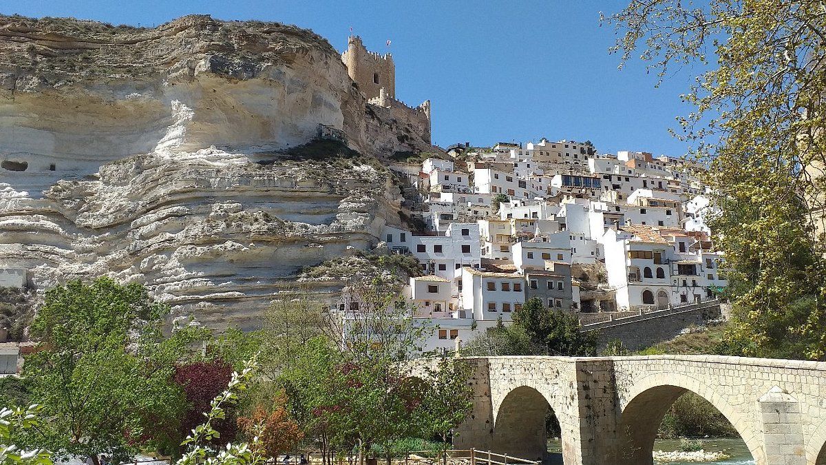
Alcalá del Júcar is a place for walking. The village sits at the bottom of the gorge, and as soon as you leave the last houses the paths begin: along the riverbank between market gardens and poplars, or up the hillsides to the viewpoints. These are the trails we most often recommend to our guests, from easiest to most demanding.
Trails at a glance
| Trail | Time | Distance | Elevation gain | Difficulty |
|---|---|---|---|---|
| Alcalá del Júcar – Tolosa | 1 h 15 min one way | 5 km | minimal | Easy |
| Corciolico | 1 h 05 min | 4.5 km | 160 m | Easy |
| Ermita de San Lorenzo | 1 h 10 min | 4.6 km | 160 m | Easy |
| Batán | 3 h 08 min | 13.1 km | 185 m | Moderate |
| El Morrón | 3 h 00 min | 14.7 km | 185 m | Moderate |
| Tranco del Lobo | 3 h 00 min | 14.7 km | 185 m | Moderate |
1. Riverside walk to Tolosa
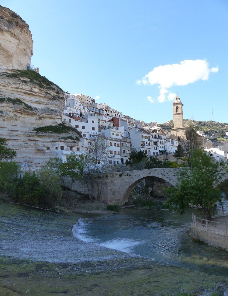
The trail for everyone. It starts at the bridge and follows the Júcar downstream along a flat dirt track shaded by poplars to the hamlet of Tolosa. About five kilometres each way, impossible to get lost, with spots to swim in summer. In Tolosa there is a bridge and places to rest; walk back the same way or arrange for someone to pick you up by car.
Ideal with children, for a quiet morning, or for your first day while you are still getting your bearings.
2. Corciolico
A short circular route that climbs above the village. In little more than an hour you gain enough height to see the meander of the Júcar and the castle from a different angle. A good choice for sunset.
3. Ermita de San Lorenzo
Climbs from the old town to the hermitage of the patron saint, at the top next to the road into the village. The path is short but steep, and the reward is the view of the castle and the valley. It can be combined with a stroll around the upper part of the village.
4. Batán
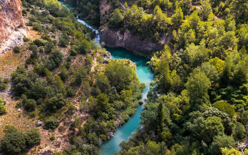
One of the classic routes. It follows the Júcar valley to the Batán area, the site of an old fulling mill on the river, between market gardens, reed beds and rock walls. Thirteen kilometres with little climbing: long but not hard. Bring water and something to eat.
5. El Morrón
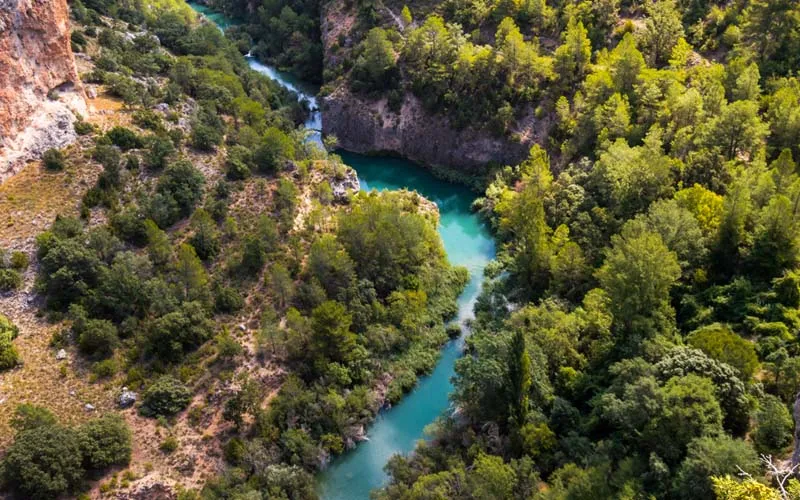
Climbs to the hills that close the gorge to the south. It is the route with the widest viewpoints: from the top you see the river winding below and, on clear days, a good part of La Manchuela. Almost fifteen kilometres with exposed stretches, best in spring and autumn.
6. Tranco del Lobo
Follows the Júcar downstream to the abandoned settlement of the Tranco del Lobo hydroelectric plant, with its ruined church, and the canyon that leads to the Molinar reservoir. It is the wildest route on the list and the favourite of those who come for the scenery. It can be shortened by driving to Casas de Ves or Villa de Ves.
One more outing: Jorquera
Twelve kilometres away, Jorquera is another walled village on a meander of the Júcar. A short circular trail goes round the meander and lets you see the walls from the river. A good excuse to combine car and walk in the same morning.
Before you set off
- Heat. From June to September temperatures in the gorge exceed 35 ºC. Start early and finish before midday.
- Water and shade. The river trails are shaded; El Morrón and Corciolico much less so. Carry at least a litre and a half per person.
- Footwear. The paths are dirt and loose stone. Trail shoes or boots.
- GPS tracks. All these trails are on the usual hiking apps. Download the map before leaving, as mobile coverage fails at the bottom of the gorge.
- Ask us. When you arrive we will point out the start of each trail and tell you about the state of the paths.
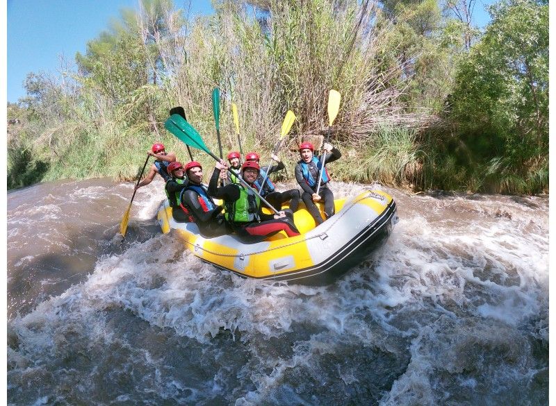
Prefer water to mountains? Our activities page lists rafting, canoeing and canyoning on the same river. And to refuel, read our guide to food and wine in Alcalá del Júcar.
- hiking
- nature